Welcome to Precision Solutions GIS & Land Survey Engineering Consultancy
Our GIS Services
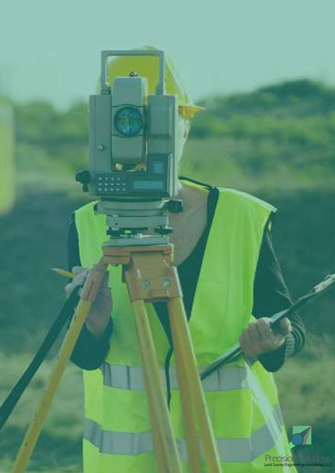
At Precision Solutions Land Survey Engineering Consultancy, we offer a comprehensive range of advanced GIS (Geographic Information Systems) services designed to provide accurate geospatial data and analysis for a variety of industries. Our team utilizes cutting-edge technology and innovative methodologies to deliver insights that drive informed decision-making and support project success.

Geospatial Analysis: Transforming spatial data into actionable insights through advanced analytical techniques.
Mapping & Data Visualization: Creating detailed and interactive maps that enhance understanding of spatial data.
Remote Sensing: Utilizing satellite and aerial imagery to capture data for environmental monitoring, urban planning, and more.
Cartography: Designing accurate and visually appealing maps for reports, presentations, and planning.
Spatial Data Management: Organizing, analyzing, and storing spatial data efficiently for easy access and integration.
3D Mapping & Modeling: Producing realistic 3D models of environments to support construction, infrastructure, and visualization projects.
Automated Drone Mapping: Leveraging UAV technology to gather high-resolution aerial data quickly and safely.
Geodatabase Design & Management: Developing and maintaining robust spatial databases that enhance data integrity and accessibility.
Location-Based Analysis: Analyzing spatial relationships and patterns to optimize resource allocation and planning.
Environmental Monitoring: Assessing land use, conservation, and natural resource data through advanced GIS techniques.
Site Suitability Analysis: Using spatial data to evaluate and select the best project sites based on specific criteria.
Asset Management & Tracking: Monitoring infrastructure and resources through dynamic mapping and GIS tools.
Terrain & Elevation Modeling: Providing detailed topographic analysis to support development and construction projects.
Heat Mapping: Visualizing data density and identifying trends through color-coded mapping.
GIS Data Conversion: Converting data into compatible formats to integrate with existing systems.
Spatial Data Integration: Merging GIS data with business intelligence tools and other data systems for a holistic view.
Field Data Collection: Utilizing mobile GIS tools for real-time data gathering and analysis on-site.
Predictive Modeling: Applying GIS data to forecast trends and support scenario planning.
Topographic & Thematic Mapping: Producing specialized maps that highlight specific data themes for targeted analysis.
Mobile GIS Applications: Developing tools that allow users to access and collect data directly from the field.
Our Core GIS Services
Our Location
Here at Precision Solutions, we provide expert surveying and engineering services using advanced technology to deliver accurate and reliable results for every project.
Location
Office No. 7, 7th Floor, Tower 1, Mazyad Mall, Abu Dhabi, UAE

Where Innovation Meets Precision in Land Surveying
© 2025. All rights reserved.
Services
Contact us
Our Partners


Cairo Governorate , Egypt
>> Survey Service
Quick Links
Office No. 7, 7th Floor, Tower 1, Mazyad Mall, Abu Dhabi, UAE
@